
City fingerprint
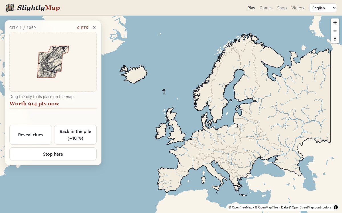
Every city has a fingerprint: the pattern of its streets. A grid, a star of avenues, a knot of lanes around an old centre, a city squeezed between a river and the hills. Here you see only that fingerprint — no names, no borders — and you drop it on the map where it belongs.
Choose a set
- France: cities 73 cities
- Europe: cities 1,069 cities
- United States: cities 337 cities
- World: the 300 largest cities 300 cities
How to play
- Study the streets. The city appears as its street network alone, inside the red outline of its built-up area, major roads drawn thicker than side streets.
- Drag it onto the map and let go where you think it is. Close enough, and it snaps into place and becomes a named dot.
- Stuck? Clues come on their own, or put the city back in the pile for later (−10 %).
The clues
- Water: the rivers, lakes and sea around the city appear — often the biggest giveaway.
- Neighbouring cities: the view zooms out to the six nearest large cities, shown as dots sized by population.
- Their names, one by one.
- Finally the city's own name, and ten seconds to place it.
What to look for
- A strict grid usually means a city planned in one go: most of the United States, Barcelona's Eixample, Turin, Mannheim, Latin American capitals.
- Rings and radiating avenues mark old European cities that grew outward from a walled core: Paris, Moscow, Vienna, Milan.
- A river through the middle narrows things down quickly; a city cut in two by a wide estuary or a strait even more so.
- Streets that stop dead along a smooth line often mark a coastline; streets stretched in long fingers follow valleys between hills.
- Size is to scale: a sprawling fingerprint is a metropolis, not a market town.
Where the cities come from
Built-up areas are the urban centres of the Global Human Settlement Layer (European Commission, Joint Research Centre); streets are drawn from OpenStreetMap through OpenFreeMap. See the credits.