
Puzzle
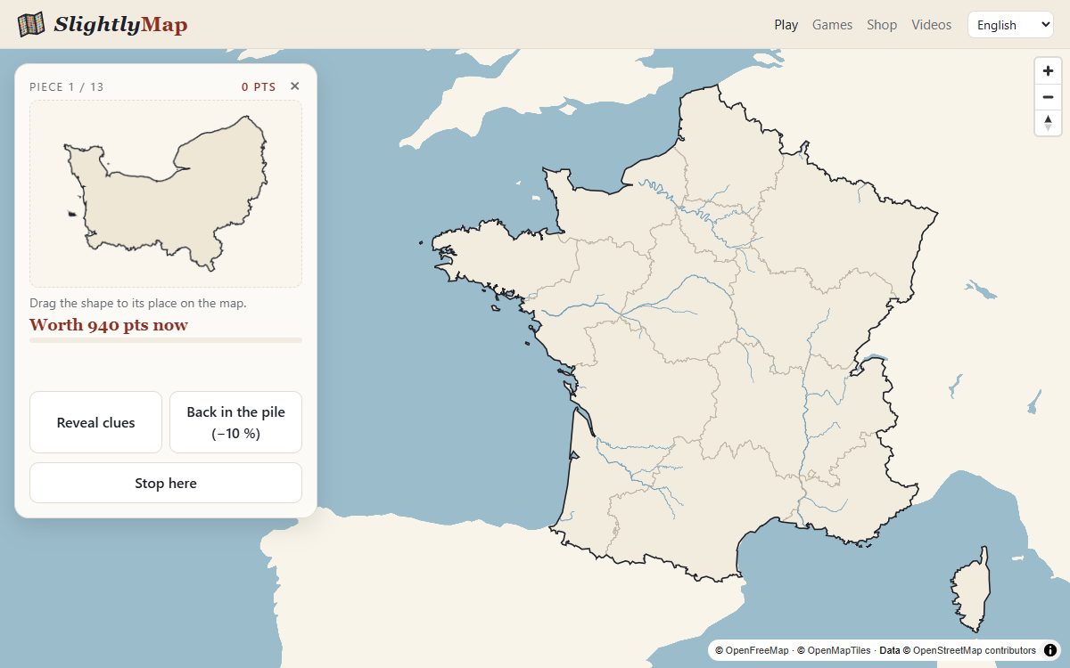
A blank board — a country, a continent, the world — and a pile of pieces. Drag each shape to its place. A magnet snaps it in when you drop it close enough.
Choose a board
- France: regions 13 pieces
- France: departments 97 pieces
- United States: states (lower 48) 49 pieces
- Europe: countries 48 pieces
- World: countries 237 pieces
Click a board to start straight away, or open the game menu on the map to change the options first.
How to play
- Look at the shape. The next piece appears in the side panel. As soon as you pick it up, it takes the scale of the map: a big piece is a big territory.
- Drag it. Move it over the board and let go where you think it belongs. If you are close enough, the magnet snaps it into place and it takes its colour.
- Not sure? Wait: clues come on their own. You can also put the piece back in the pile; it will come back later, at a random moment, worth 10 % less.
The clues
Clues arrive at the same pace for every piece, every 30 seconds or so:
- the rivers that cross the piece,
- its coastline,
- its ten largest towns, as dots sized by population,
- their names, one by one, from the smallest town to the largest,
- finally the name of the piece itself, and ten seconds to place it.
Options
- Order of the pieces
- Random, largest first (an easy warm-up: big shapes are easy to read) or most populated first.
- Board
- Outline only (hard), outline and rivers, or rivers with the outline of every piece drawn (easiest: you match a shape to a slot).
- Magnet
- How close you must drop the piece: within a quarter of its size (easy), a tenth (medium) or three hundredths (hard).
Tips
- Start from the edges. Coastal and border pieces have a recognisable side; inland pieces are easier once their neighbours are placed.
- Use the size. Pieces are drawn to scale, so a tiny piece cannot be one of the big western US states, and a large one is rarely in the Low Countries.
- Read the rivers. In France, the Loire and the Rhône give away a dozen departments; in the United States, the Mississippi and the Ohio outline several states.
- Hard magnet, outline only is the true test: you have to know the exact position, not just the area.
Where the shapes come from
Borders are today's administrative borders from OpenStreetMap; rivers come from HydroRIVERS; towns and populations from the Global Human Settlement Layer of the European Commission. See the credits.